River Trip Irwell to Burrs Country Park. 07/01/2023 by Andrew Broddle
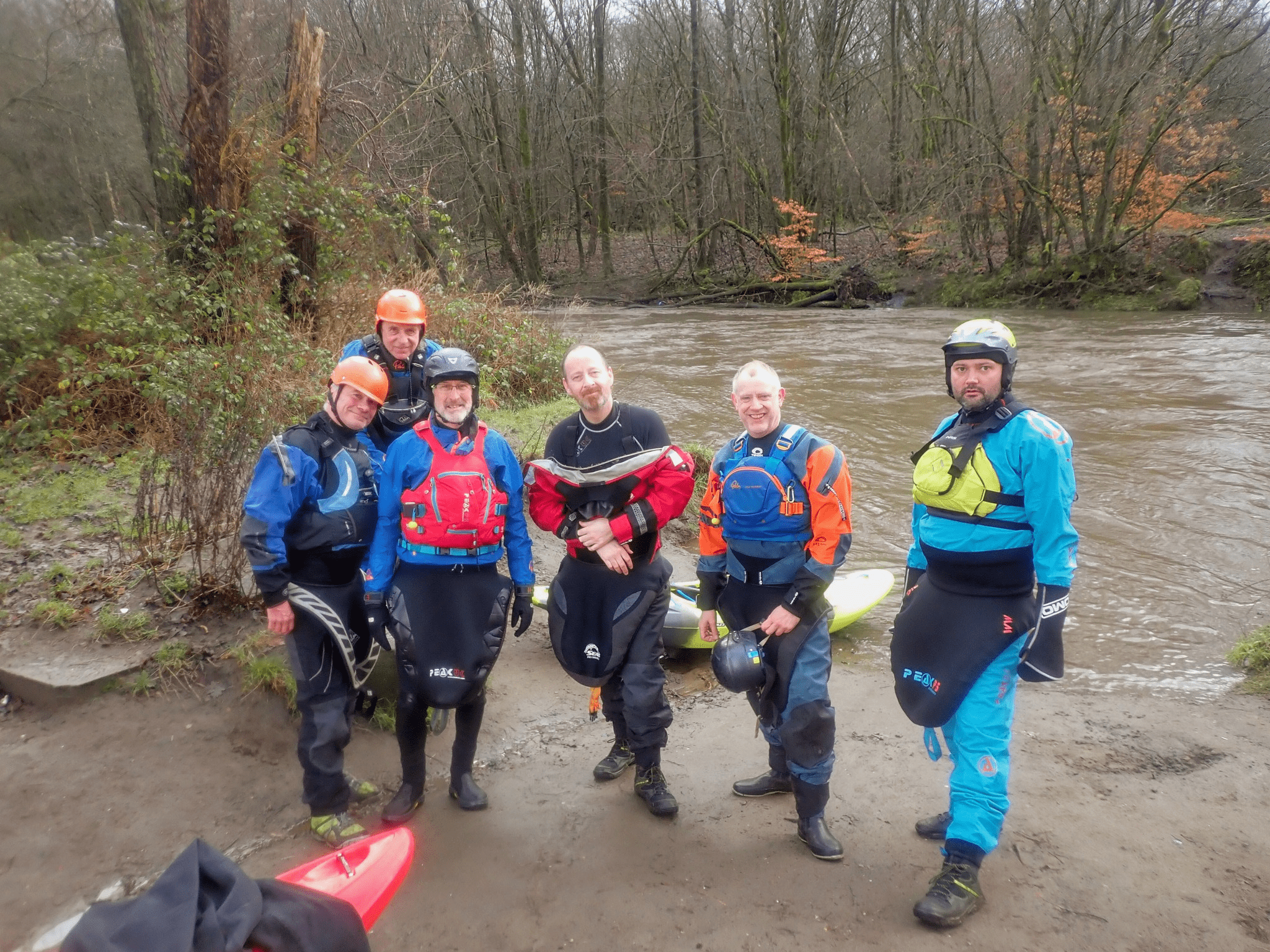
River Trip Irwell to Burrs Country Park. 07/01/2023. Pics from a fun and lively day on the river. Many thanks to John Allerton for organising and leading. River Level: 0.56m, falling (Grade 2+ currently)

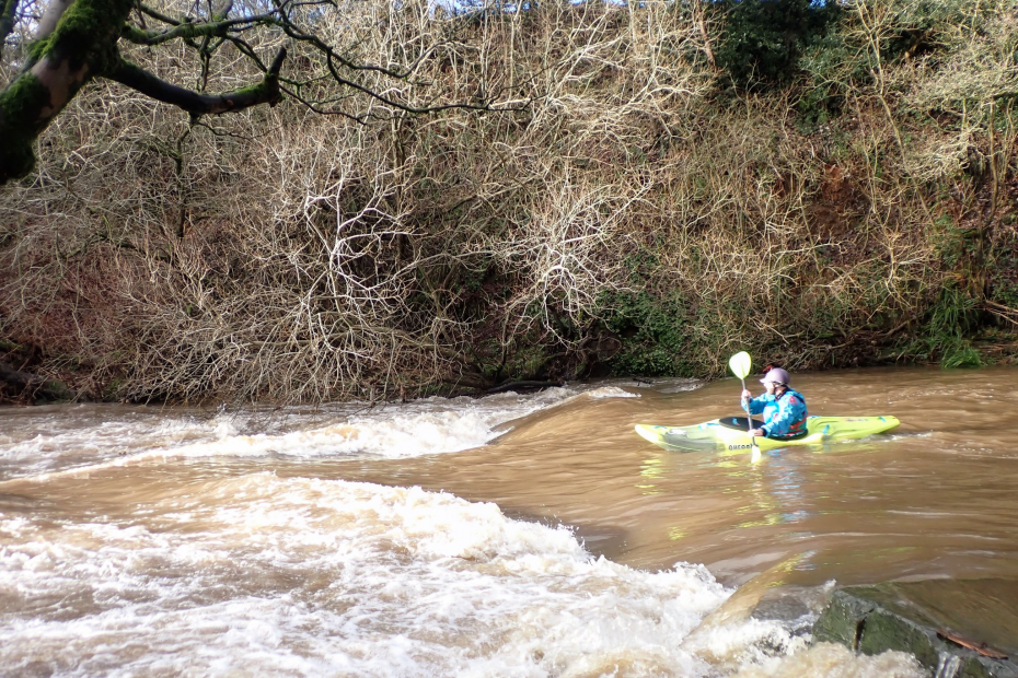
The put-in at Ramsbottom gives access to the bottom of the weir which is quite friendly apart from the left-hand corner. Under the road bridge, past a paper mill on right, when the next factory moves into view run the dodgy weir extreme river left. This weir has a fearsome local reputation. The river is obstructed by willow tree branches in the water. Force a way through and then a couple of bends brings Nuttal Park into view on left, under a stone footbridge lies the start of the gorge. The river gradient increases considerably for 300m offering several holes waves to play in but few eddies.
A large pool at the bottom, under a pipe on stilts, take the left-hand side of right-hand channel to another pool. River narrows and produces a surf wave and a couple of holes. Watch for the high waterfall on left; in flood, it marks a stay-on-it-all-day- wave followed by a rock step which makes a river-wide stopper.
The gradient steepens again to another stone bridge. The left-hand arch generates a surf wave. The river then passes under a Restaurant; wave to the diners. This is Sumerseat, the next access/egress point being on the left 200m after the restaurant. The next stone bridge has a surf wave under right-hand arch; this is followed by another mini-gorge. A large white house on the right marks Taylor’s weir. This weir has submerged exposed steelwork but can be shot centre-right in high water. Alternatively, there is a chute on the left which is a safer route in low water.

The river is now a grade 2 bimble to the Burrs Weir. The weir is 18′ high, has a smooth slope on left, 2′ steps on right and is relatively shallow at the base. In low water, it is very safe, but the stopper will hold a boat at ALL levels. If the water level is high enough to make the trip from Rammy a decent one you probably won’t want to slide the smooth face. Take the steps instead – it’s not quite as bad as it looks! Alternatively portage on the left.

The next 800m of the river is the “Burrs Site” and is being developed for paddling. Ideal for beginners in low/medium water. The riverbed is sculpted to produce holes, stoppers and waves. The best surf wave is under the road bridge this is followed by a pop-out spot and a taily eddyline. Get out is obvious by the ramp on left.
