Search
France 2023 The Ardèche Day 7 The Ardèche, ‘Defiles’ section by Graham R
France 2023 The Ardèche Day 7 The Ardèche, ‘Defiles’ section by Graham R
Our 3rd Day on the river Ardèche and a section I had paddled before in lower conditions than we had on the day due to substantial thunderstorms over the upper catchment the afternoon and evening before. Bit of colour in the water, sadly not ripping, but plenty for a bash free decent.
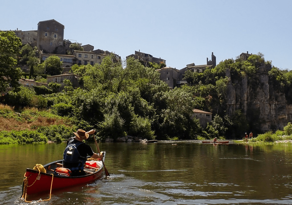
This section is upriver from the common base at Vallon-Pont-d’Arc. Good car parking up at the put-in below the historic village of VogÜé (pron: Vogue-Way) on the eastern bank (below the old rain viaduct and above the newer road bridge).
Steady open river to start with until the first weir at Lanas. Glissiere for the plastic canoes and a portage for myself in the cedar-epoxy (too destructive). Then the river closed with tight corners and chutes prevailed for a while and cautious regrouping was required. Soon enough though it opened out into the typical layered open limestone gorge with a fine play wave (and undercut cliff for the swimmer to consider!).
The village of Balazuc was then reached and you realise that you’re back in tourist country. We didn’t stop though it’s worthy. Below the village there is a cliff to the left and shingle/boulder bank to the right, with a big rock set in the centre. On my previous (lower level) descent this rock forced the river right and cause one of our party a nasty swim (and damage to my other boat!), on this visited the level offered good passage to the left of the rock with a nice ride down the edge of the left cliff. It is noted in the guide that the river changes with the shift of the riverbed boulder, and this should be considered given the potential for ‘flood’ evolution of this river.

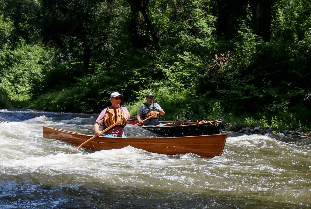
Spongy sunning himself while the others had to hide from the sun in the shade of a “cliff”. Oh no – code word for all jump in again!
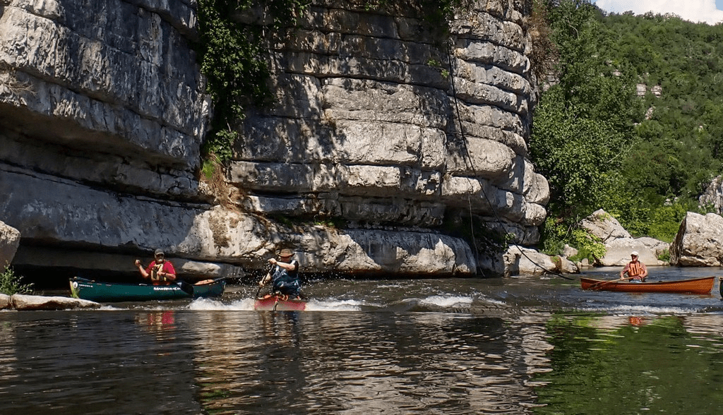
We took a break a little further downstream a convenient cliff-shaded spot. The onward gorge is fine country. Not that of the famous section, but full of interest that keeps developing with steady sweeps, complexities, and new vistas. Some good rapids and then a 3-; too bony for my boat, but fair game for the rest of the team. The optical illusion of the inclined, bedded walls of the Cirque de Gens is somewhat true… you could be paddling downstream, but uphill. The section ultimately finishes at Ruoms in a 2km canalised section stopped by a tradition mill weir. The ‘possible’ drag of this section dissolves away with the fun of the long, low angle glissiere on the river right. If only all glissieres were like this one! I shot it again as I had once before with only a modest bump on the stern stem.

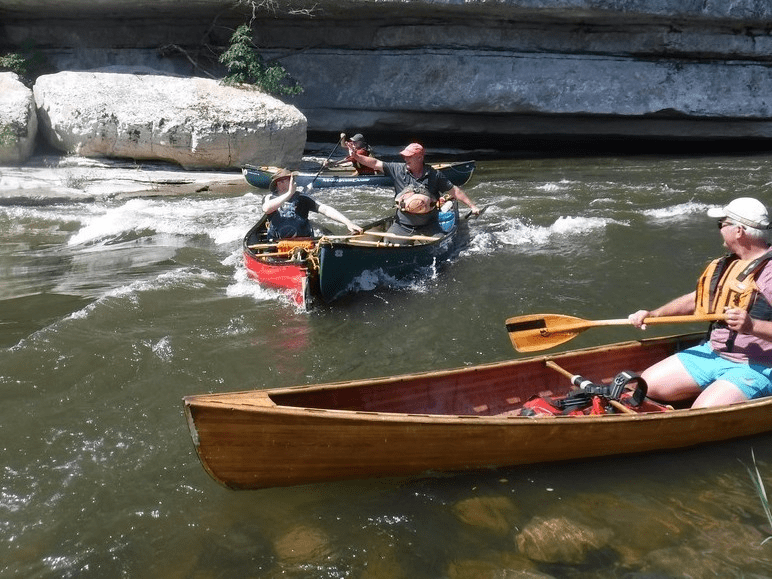
I was offered the opportunity to carry on down the river (another 14km to our camp at Vallon), given I had no part in the group shuttle, and there was time in the day on a fine afternoon. So… This section below Ruoms is overlooked, and for the next 5km I just don’t know why. Yes, the gorge is gone and you’re in open country, but the rapids come regularly, and the vistas are fine. One rapid funnels you through a fine avenue of trees and is not without entertaining technicality. After the river Chassezac joins from the right there’s one final rapid beneath the old rail viaduct and D111 road bridge. Below here there’s a likely egress point river right through the camping site. This would be a good point to end the Defiles section by adding an hour or so of moving water. Now the river really changes into flatwater until the first of the 5 weirs (all with their own character of glissieres). No.1 I shot cleanly, then passed the mill on the left and alongside the main road on the full river again, beyond ‘Camping Aloha’ (ye, right!) where the river soon slows up to the second. The glissiere was too aggressive for my boat, so I lined down it carefully getting back on board on the left of the structure.
Away then under the low bridge and another longish flat section with the breeze building for an afternoon storm. No.3 was going to be messy to portage so I shot it. I tail bashed, I swamped, I took a swim. No issues though. The 4th soon arrived, and I shot it reasonably effectively… like I bailed a bit, but just a tail bump. The 5th is the big weir you see from the Vallon Bridge. The Glissiere to the river right is way too aggressive for the boat, no question, so my option was to portage awkwardly down the river left edge next to the white-water course and easily return to the flow to egress close to camp, river right a little way down stream. Easy as! So the 9km final weirs section is worth doing, but it’s not what you really come here for.
Paddlers: Keith, Ian, Mike, Ruth, Martin, Nikki, Andy, Graham & Spongy