Search
A local sea paddle.
A local sea paddle.
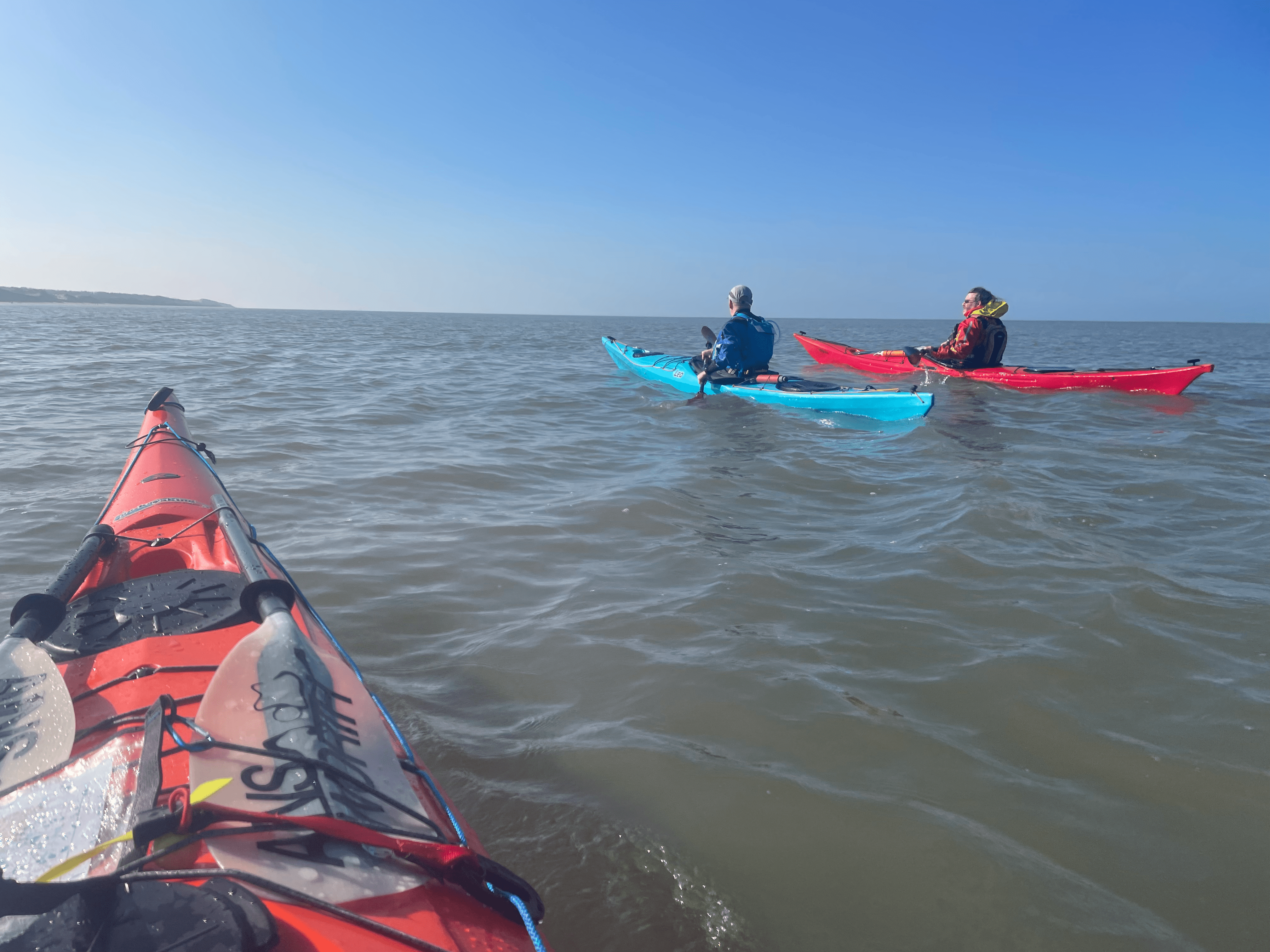
After keeping an eye on them rising fuel costs and forecast for a number of days, weeks, months. Friday seemed like a good day to explore the local coastline.
With a Liverpool high water of 11:17 @ 9.22m, that gave a local high-water time between Southport and Formby of about 11am. The plan was to head south, keeping close to the land for some protection from the south easterly wind and then see how far we got before HW then turn and run back so we didn’t have to carry the kayaks that far!

Tony, Kevin and I met at Pontins car park in Ainsdale at 9:30 and set off lugging the boats to the rising tide. A quick chat and brief about our plans and off we went, our ambition was to head towards Taylors Bank but in reality, we just wanted to get out.
As we set off, we identified a slightly shallow bank so pushed offshore to avoid that, then the journey south was pleasant, the south easterly F3/4 winds were present but on the way down to Formby Point, hugging the coast line worked nicely. We pushed out to avoid the shallow water and into the wind, sighted the Lifeboat Road RNLI tower, which several local swimmers were utilising.
A brief chat with the swimmers, identified the tidal pole and decided to re assess our plan at this point. The time was 11:15, HW Liverpool and the wind was increasing so we knew the ebb would be coming our way, and with that the decision was made!

We enjoyed a small amount of surf on the return leg, staying further offshore on the return to maximise the benefit of the wind, as we rounded Formby Point the RNLI lifeguard stand at Ainsdale came into view as did the Toad Hall mural.
9.3 miles of paddling, 2hr:23min and back home with all the kit washed by 1330!
This must be what it’s like to paddle on Anglesey!
