Search
2024 LCC Alpine Paddling Holiday Day 14 Friday 2nd August: The Isere by Mike Fletcher
2024 LCC Alpine Paddling Holiday
Day 14 Friday 2nd August: The Isere by Mike Fletcher
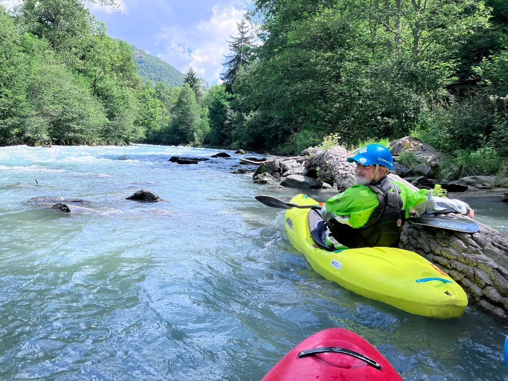
Well, there was water in the river and it was supposed to be 30 Cumecs. After shuttling the car and van to the bottom, 3 of us put in near the barrage for a run of the top section where would meet up with the other 3 paddlers at raft get-on at the bottom of the Isere Slalom course.
The river is very “heavy” with large pour-overs and big boulders. We had very little warm-up, and the course certainly got my pulse running. We collected in serval distinct eddy`s to regroup and catch our breath. The river finally eased once we were under the road bridge.

The Slalom section at 31 Cumecs
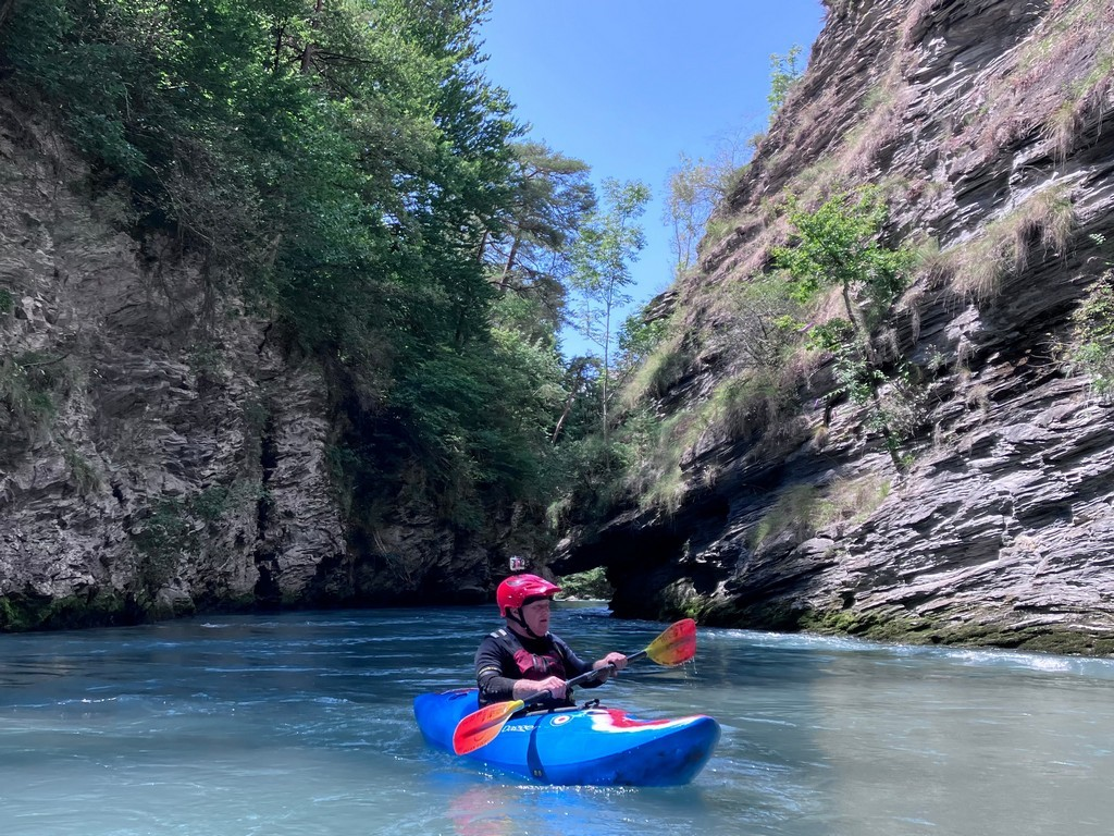
We all then headed off downstream on the section to Landry. This is grade 3- but with big water. The valleys here are wooded and mature unlike the dryer banks and vegetation of the Ecrin Mountains, where we were the week before. This section of the river is very much like the lower Tryweryn but with 3 times as much volume.
There are several sections here to run at grades 2-3 with numerous access points, Landry, Bellentre, Base de Loisirs des Versants d’Aime (with swimming lake). From here on down the river paddles as a great grade 4, continuous section known as the Aime Rapids. This is a fantastic section which finishes with a fabulous, narrow gorge with all the water passing smoothly through the narrow walls.
Below here is “a sting in the tail” according to Steve Mills. He was not wrong as several large rapids lead down to the N90 road bridge. This signals the rafting base at Centron which was our get-out. We paddled it on 31 Cumecs but later in the day, the water was reduced to 21 Cumecs (Cubic Metres per second) which would have made it much easier. See below for river maps and flow levels.
The rest of this post has been hidden and is only visible to logged in members. Click here or tap the login tab on the main menu or enquire about membership.