Search
Rannoch Moor to Perth by Chris Bolton Part 4
Rannoch Moor to Perth by Chris Bolton Part 4
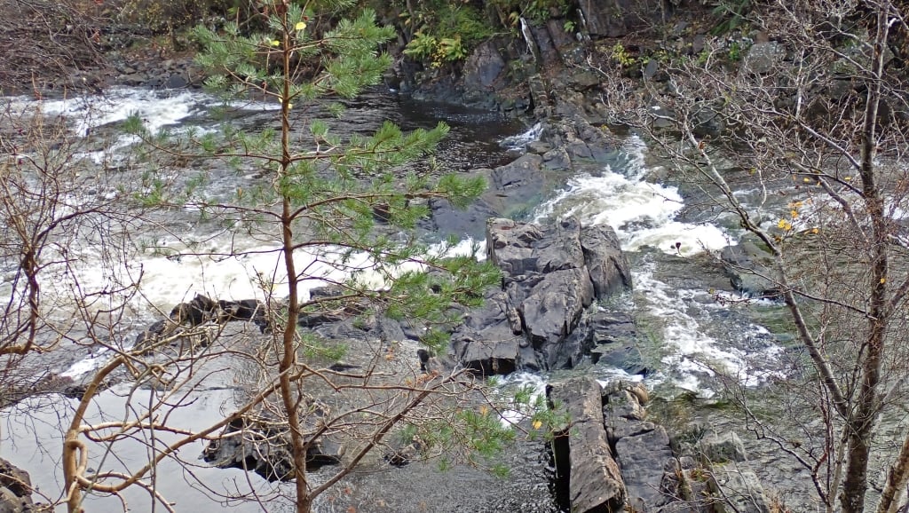
We found a landing spot just upstream of the fish ladder, on the North side of the dam. We’d expected to see signs of previous use, but it was quite overgrown. Our first task was to walk the portage and look at the river. This was not encouraging. There was very little water, and it was rocky.

The trouble with the Tummel hydro scheme is it’s been very carefully designed to extract ever kW of hydro power – unlike most hydro scheme, where the power station is at the dam and there’s a release when generating, the Tummel is taken horizontally by aqueduct to the power station at the bottom of the river, so the river is almost dry. Previous trip reports have mentioned paddling it on ‘compensation flow’ but I think they meant a ‘freshet’ release, which is bigger than the compensation flow which we had.
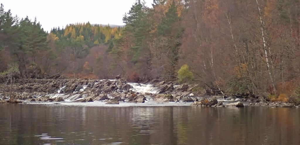
We explored down the bank for about 800m and it didn’t get any better; this was going to be another road portage. We might have had a go in unloaded whitewater boats but not in loaded canoes. To put it in context, the section from the dam down to Dalriach has an average gradient of 18m/km, compared to 9m/km for the Garbh Ghaoir and 5m/km for the Gaur. We hoped to use the access and egress guidebook descriptions for paddling this section, but the opposite way around. For access, and our egress, it says ‘climb over the gate’, but the only gate we found was 2m high with barbed wire on top. However, about 500m below the dam was a path through the woods to the road. From the road, the rapids further downstream didn’t look any more feasible, but we found the guidebook takeout and could indeed launch there after a bite of lunch. Looking upstream at “The Big Slide” confirmed our decision.

The Big Slide – looking upstream from our put-in
The guidebook says the rest of the river down to Tummel Bridge is mainly flat” but that should be read in context – it’s mainly flat compared to what’s upstream. At that level it was more boulder fields and grounding. The “fun little Grade 2” at Tummel Bridge required lining. We emerged onto L Tummel to find a beautiful calm evening.

